GeoAI: Artificial Intelligence for Geospatial Data









A powerful Python package for integrating artificial intelligence with geospatial data analysis and visualization
📖 Introduction
GeoAI is a comprehensive Python package designed to bridge artificial intelligence (AI) and geospatial data analysis, providing researchers and practitioners with intuitive tools for applying machine learning techniques to geographic data. The package offers a unified framework for processing satellite imagery, aerial photographs, and vector data using state-of-the-art deep learning models. GeoAI integrates popular AI frameworks including PyTorch, Transformers, PyTorch Segmentation Models, and specialized geospatial libraries like torchange, enabling users to perform complex geospatial analyses with minimal code.
The package provides six core capabilities:
- Interactive and programmatic search and download of remote sensing imagery and geospatial data.
- Automated dataset preparation with image chips and label generation.
- Model training for tasks such as classification, detection, and segmentation.
- Inference pipelines for applying models to new geospatial datasets.
- Interactive visualization through integration with Leafmap and MapLibre.
- Seamless QGIS integration via a dedicated GeoAI plugin, enabling users to run AI-powered geospatial workflows directly within the QGIS desktop environment, without writing code.
GeoAI addresses the growing demand for accessible AI tools in geospatial research by providing high-level APIs that abstract complex machine learning workflows while maintaining flexibility for advanced users. The package supports multiple data formats (GeoTIFF, JPEG2000, GeoJSON, Shapefile, GeoPackage) and includes automatic device management for GPU acceleration when available. With over 10 modules and extensive notebook examples, GeoAI serves as both a research tool and educational resource for the geospatial AI community.
📚 Book
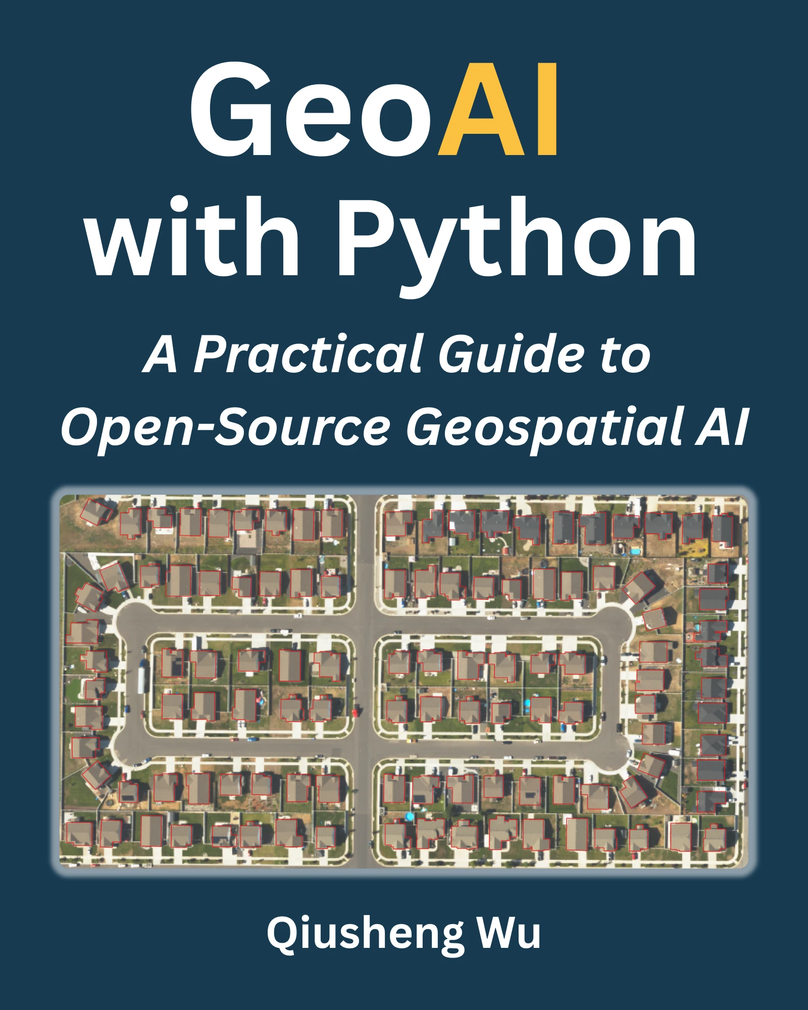
A comprehensive book on GeoAI is available at https://book.opengeoai.org.
📝 Statement of Need
The integration of artificial intelligence with geospatial data analysis has become increasingly critical across numerous scientific disciplines, from environmental monitoring and urban planning to disaster response and climate research. However, applying AI techniques to geospatial data presents unique challenges including data preprocessing complexities, specialized model architectures, and the need